
Georgia's Syrup City
About Cairo, GA
Welcome to Cairo, the Grady County seat in southwest Georgia known as the Syrup City for its cane-syrup heritage, set amid the state's peanut belt.
Cairo (pronounced KAY-ro) is the county seat and largest city of Grady County, Georgia, in the lower coastal plain of the state's southwest corner near the Florida line. The 2020 census counted 10,179 residents. The county itself is named for Henry W. Grady, the Atlanta Constitution editor and orator who championed the "New South." Cairo's identity was built on cane syrup. In the 1860s, Seaborn Anderson Roddenbery began selling open-kettle sugarcane syrup from a horse-drawn buggy, and his family's W.B. Roddenbery Company later marketed Georgia cane syrup nationwide, producing as many as 120 barrels a day at its peak. That heritage earned Cairo the nickname "Syrup City" and made the town a regional agricultural center. Agriculture remains the foundation of the local economy. Grady County lies in the heart of south Georgia's peanut belt, and row crops such as peanuts, cotton, and soybeans dominate the surrounding farmland, with processing plants handling the harvest. The region's rich soil and long growing season also support vegetables and other crops, continuing a farming tradition that has defined the area for generations. Public education is provided by the Grady County School District, based in Cairo, which operates elementary, middle, and high schools including Cairo High School. The city serves as the commercial, governmental, and cultural center of the county. Cairo sits on U.S. Highway 84, connecting it east to Thomasville and west to Bainbridge, with Georgia State Route 93 running through the center of town toward Pelham and the Florida border. Tallahassee, Florida, lies a short drive to the south. This crossroads position, combined with its agricultural base and deep-rooted small-town culture, makes Cairo the anchor of one of Georgia's most productive farming regions.
Frequently Asked Questions
What county is Cairo, Georgia in?
Cairo is the county seat of Grady County, Georgia, in the lower coastal plain of the state's southwest corner, near the Florida line. U.S. Highway 84 runs through the city, and Georgia State Route 93 passes through its center.
How is Cairo, Georgia pronounced?
Cairo is pronounced KAY-ro, not like the Egyptian capital. The city's name is tied to its local identity as the 'Syrup City,' reflecting its long history as a center of cane-syrup production.
Why is Cairo called the Syrup City?
Cairo is known as the 'Syrup City' because of its cane-syrup heritage. The W.B. Roddenbery Company, which began marketing Georgia cane syrup in 1889, made Cairo a national hub for syrup production and shaped the town's identity for generations.
What school district serves Cairo?
Cairo is served by the Grady County School District, which operates several schools in the city and county, including Cairo High School. The district is based in Cairo and serves students from across Grady County.
What drives Cairo's economy?
Cairo's economy is rooted in agriculture, with peanuts, cotton, and soybeans among the dominant row crops of the surrounding south Georgia peanut belt. The city also functions as the commercial and governmental center of Grady County.
City Guide
About Cairo
Real Estate & Housing
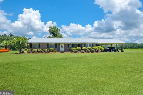
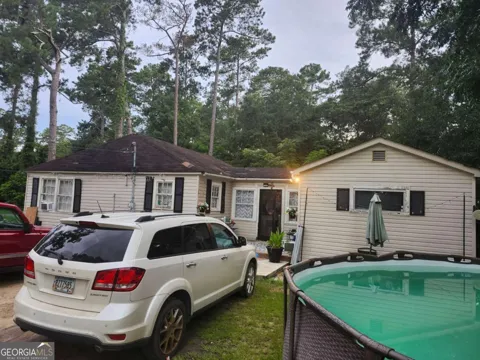
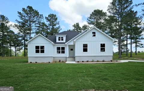
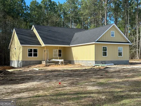
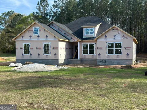
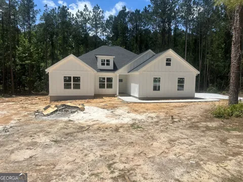
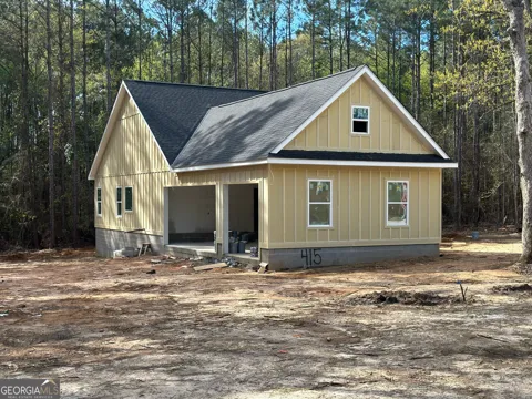
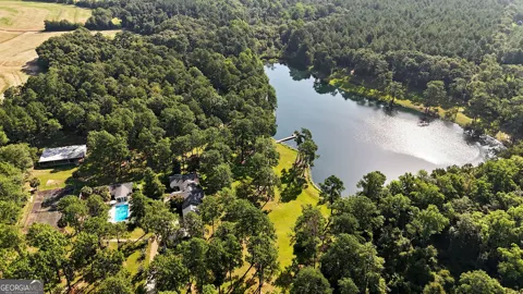
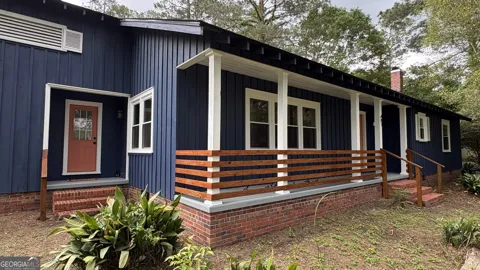
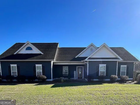
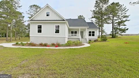
Cairo's housing stock reflects its role as a long-established county seat, with older single-family homes near the downtown and courthouse square, mid-century neighborhoods on the city's flanks, and newer construction toward the edges. The surrounding Grady County countryside offers farmland, rural acreage, and modest country homes, with agriculture shaping land use throughout the area. The market is predominantly single-family and affordable in character, rooted in a stable small-city economy rather than rapid suburban expansion, and it appeals to families, agricultural workers, and those seeking a traditional Southern town.
Neighborhoods
Cairo's neighborhoods are organized around its downtown and courthouse square, where Broad Street and the historic commercial district form the city's center. Residential streets of older homes radiate outward, transitioning to mid-century subdivisions and newer developments on the perimeter. The city is framed by farmland and the rolling lower coastal plain, with Georgia State Route 93 and U.S. Highway 84 structuring the main corridors. This layout gives Cairo a compact, cohesive small-city form, with the county government, schools, and commerce clustered near the center of Grady County life.
Lifestyle in Cairo
Cairo's lifestyle is that of a classic south Georgia county seat. The courthouse square and downtown anchor civic life, with local shops and restaurants serving a community still closely tied to agriculture. Church, school, and high school athletics set the social calendar, while the surrounding farmland and the region's long growing season keep the rhythms of the countryside close at hand. Residents make short drives to Thomasville for its dining and historic character or to Tallahassee for larger-city services and air travel. The result is an unhurried, family-centered way of life in the heart of the peanut belt.
Schools & Education
Cairo is served by the Grady County School District, based in the city. The district operates several elementary and middle schools along with Cairo High School, serving students from Cairo and across Grady County. The schools are central to community identity, with high school athletics and events drawing broad local participation. For higher education, residents are within reach of institutions in Thomasville, Valdosta, and Tallahassee, giving students access to community college, technical, and four-year pathways across the southwest Georgia and north Florida region.
Getting Around
Cairo sits at a regional crossroads defined by U.S. Highway 84, which runs east-west through the city to Thomasville about 15 miles east and Bainbridge about 24 miles west, with Valdosta and Dothan, Alabama, farther along the corridor. Georgia State Route 93 passes through the center of town as Broad Street and Fifth Street, leading north to Pelham and south toward the Florida line and U.S. Route 319. Tallahassee, Florida, is a short drive south, and its airport serves regional air travel. Personal vehicles are the primary means of transportation, consistent with the area's rural character.
Parks & Recreation
Recreation in Cairo centers on community life and the outdoors of southwest Georgia. Local parks, school athletic programs, and the county's community events provide the everyday recreational fabric, while the surrounding farmland and woodlands support hunting, fishing, and rural pastimes common to the region. Thomasville, a short drive east on U.S. Highway 84, adds golf, historic-district strolling, and a larger dining and shopping scene, and Tallahassee to the south offers state parks, lakes, and cultural venues. Cairo itself remains a quiet base from which to enjoy the region's parks and countryside.
MARKET SNAPSHOT
The Market at a Glance
How homes have been selling here over the last 90 days.
Price & Sales History
Market data reflects closed sales over the last 90 days and is provided for informational purposes.
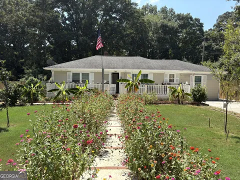
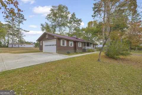
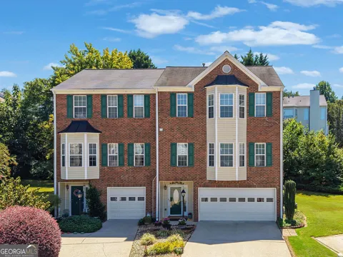
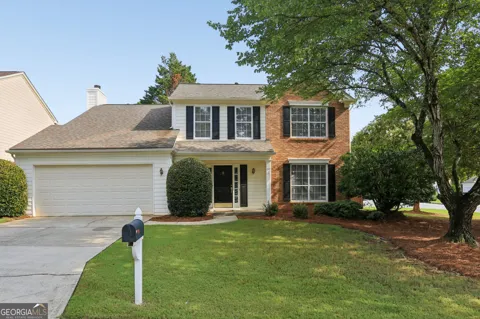
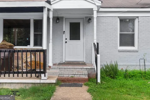
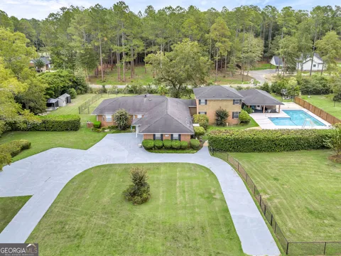
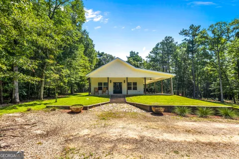
For sale
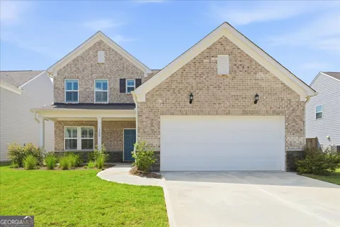
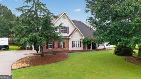
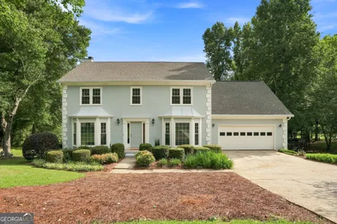
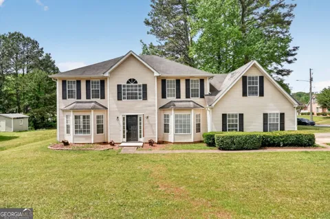
Houses in Cairo, GA
Handpicked properties hitting the scene in your area.





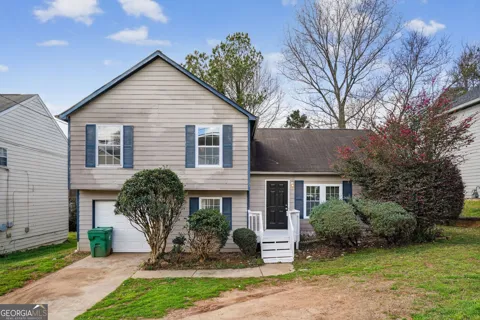
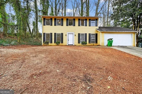

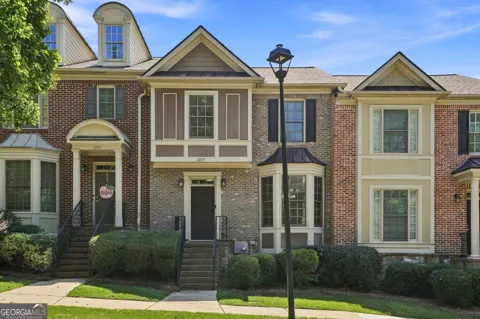
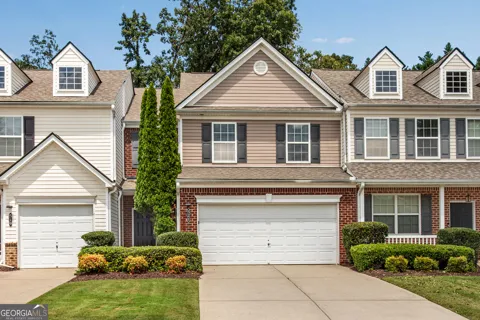
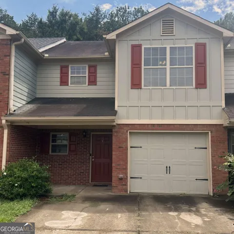
For sale
Townhomes in Cairo, GA
Handpicked properties hitting the scene in your area.
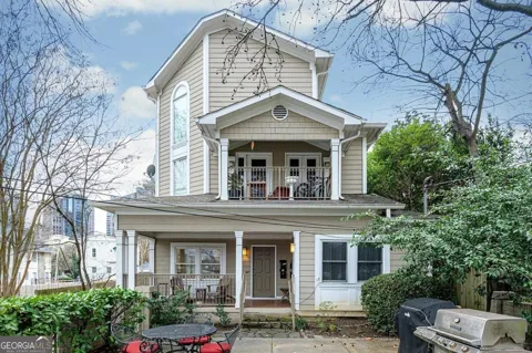
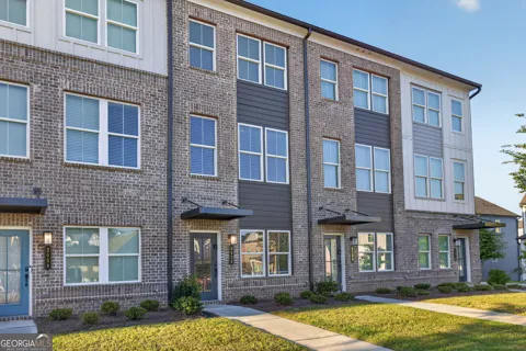
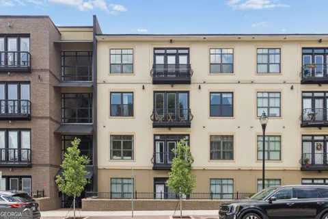
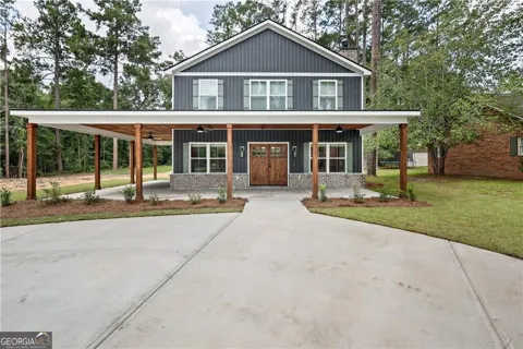

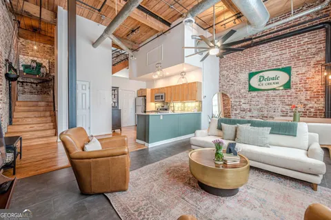
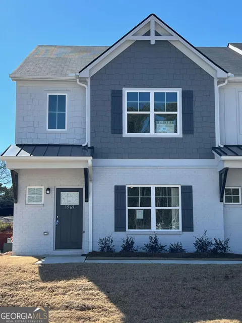
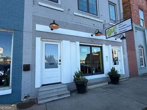


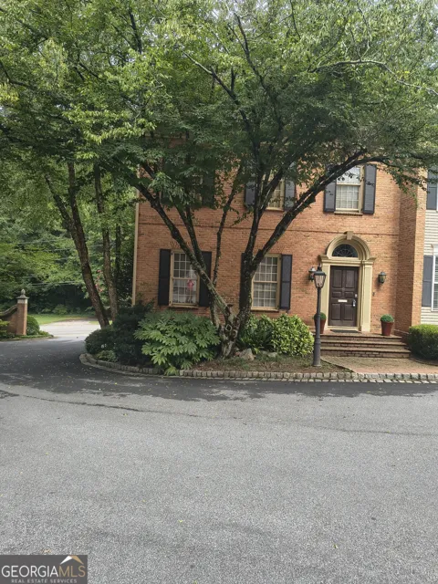
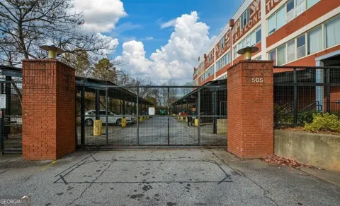
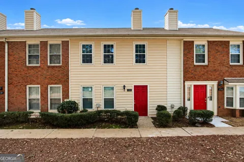
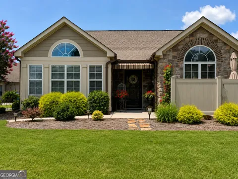
For sale
Condos in Cairo, GA
Handpicked properties hitting the scene in your area.
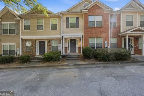

Zip Codes
BROWSE BY ZIP
Browse listings by postal code in this area.
- Grid
- Map
- List
Contact us
Team Nomad
RE/MAX Town & Country
322 W Main St. Unit B Blue Ridge, GA 30513
- (706) 632-4422
- malloryerin.realtor@gmail.com
- License 428470
